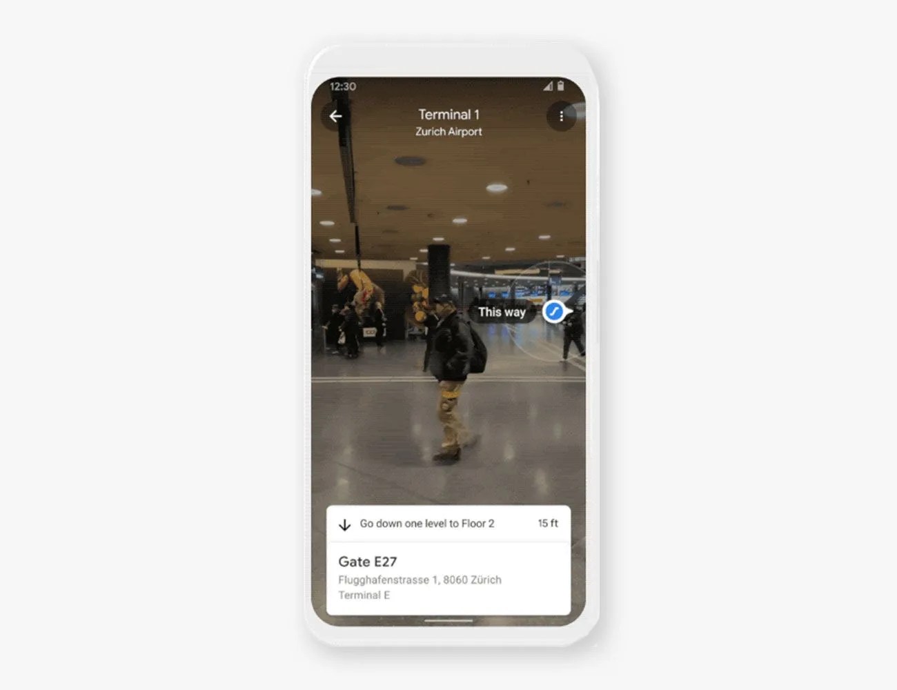
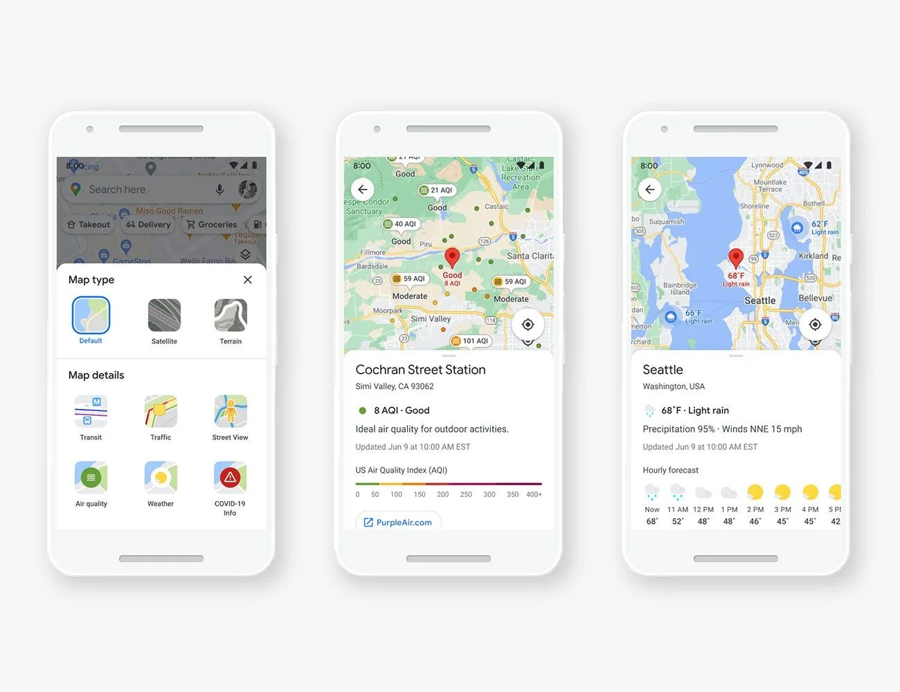
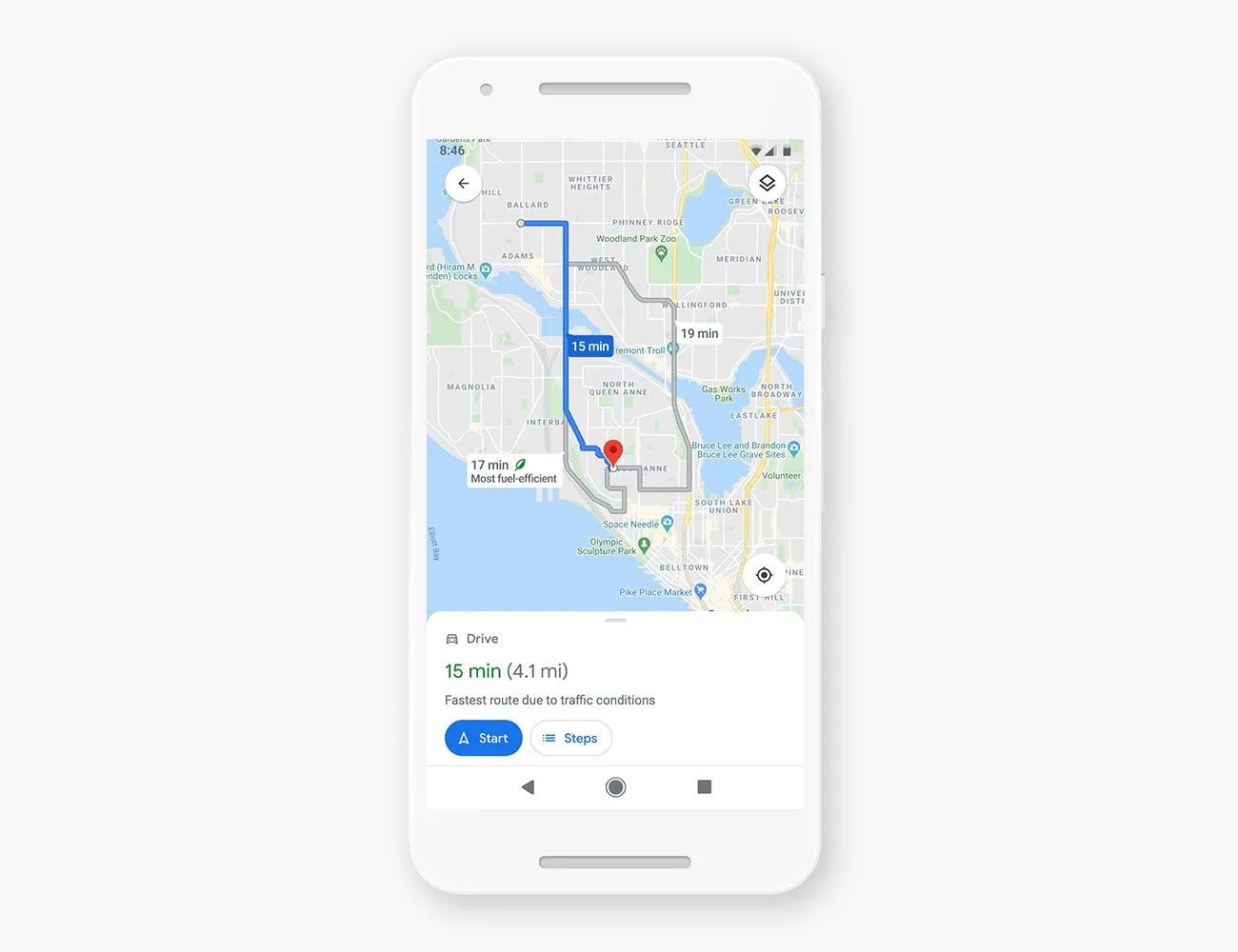
Google Maps is by far the most popular navigation app with millions and millions of active users who love it for its simple-to-use interphase, robust features (such as real-time GPS navigation and integration with public transport schedules, like buses, trains, ferries and subways) and the fact that it works on basically any device you have, be it an iPhone or Android, Mac or PC. And Google added a bunch of new features.
Here’s what you need to know.
Read More

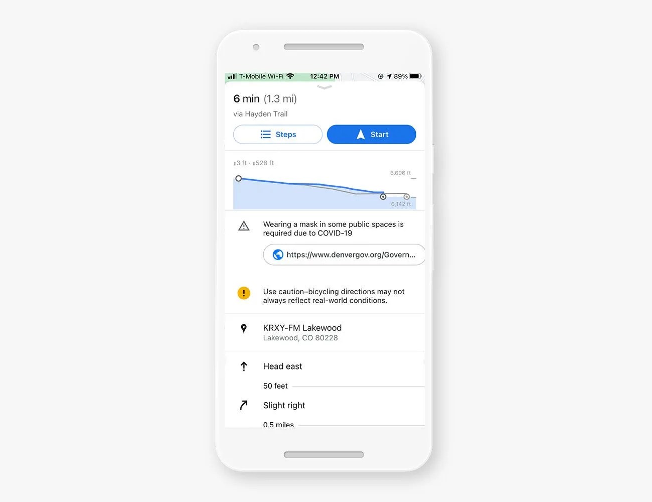
How to measure distance on Google Maps
It’s actually pretty easy to find the exact distance between locations when using Google Maps. If you’re using a smartphone or tablet, all you have to do is open the Google Maps app and drop a red pin by tapping and holding a spot anywhere on the map.
Then, look at the bottom of your screen which will now indicate the address of the pin you just dropped. Click on that address and you will see an option labeled “measure distance” just underneath the icon for “Directions.”
From here, you can scroll anywhere using the black crosshairs and it will tell you the distance of that location to your red pinned location. You can select the “+” icon to drop multiple points on the map and get the distance between all of them. (