When was the last time you used a road map? You know — one of those dusty pamphlets you find stacked in gas station vestibules? It’s probably been a while. If you’re younger than 25, maybe you’ve never even seen one. Why fumble around with an awkward print map when every road and alleyway and sidewalk in the world can be navigated in the palm of your hand? It’s strange, though — while drivers have gone full digital, hikers, for the most part, still cling to print. But why? True, screens should always be used sparingly in the backcountry, but modern trail apps have become so intuitive and useful, they don’t spoil the purity of your walk in the woods; they heighten it. On your next hike, give the following five apps a try. You’ll likely wonder how you ever hiked without them.
AllTrails
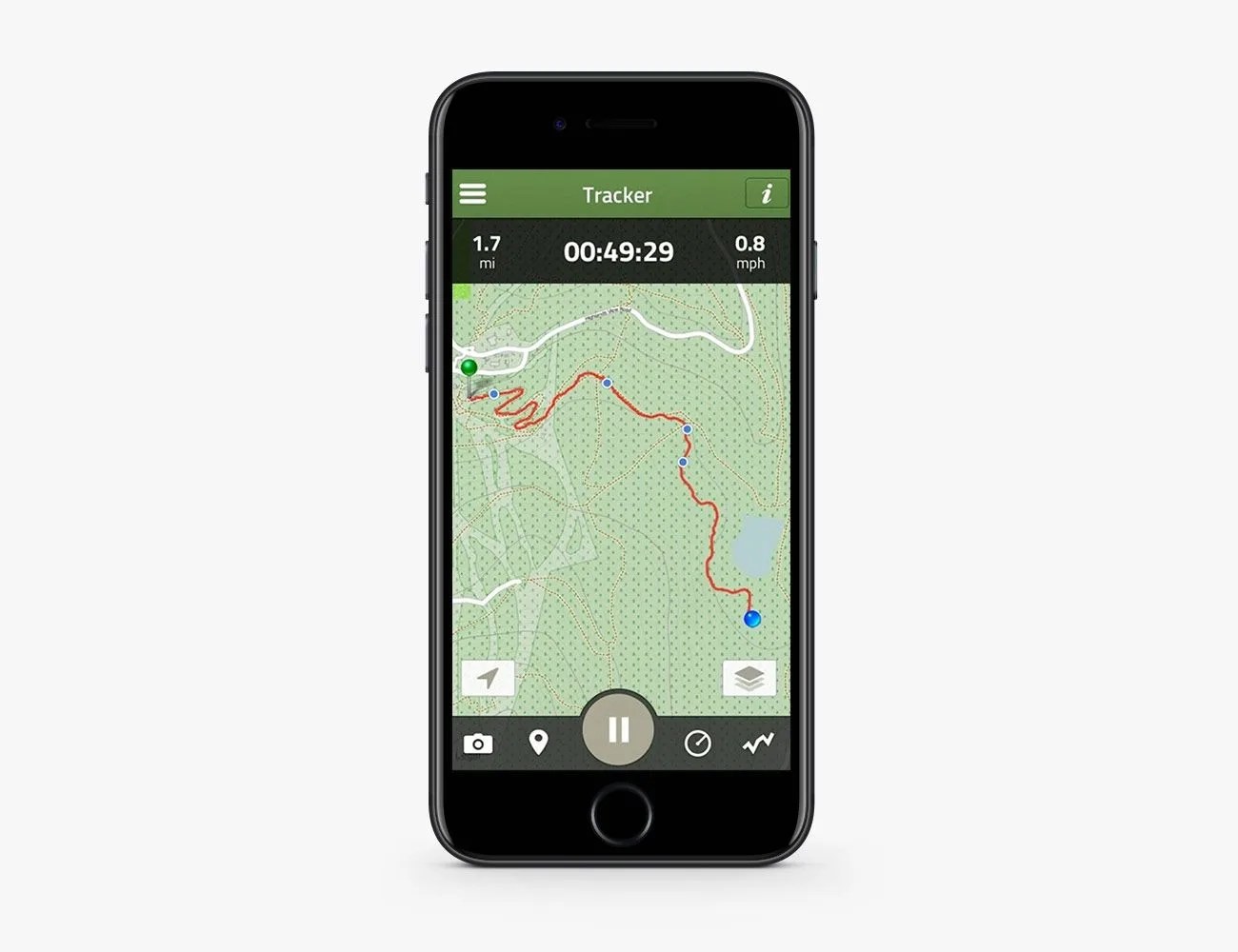
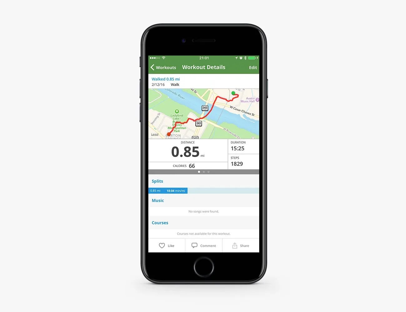
For the Everyday Hiker: AllTrails is basically the TripAdvisor of hiking trails. Users can access at-a-glance information on 50,000+ trails around the world, bolstered by reviews, photos and other useful insider tips posted by community members who have hiked them. You can sharpen your search through a number of filters, like activity (hike, bike, run), length, rating, difficulty and more. It also acts as a GPS tracker, recording your pace, distance, elevation and speed over the course of your hike. Other useful features, like offline and printable maps, are available in the “Pro” version, which costs $30 a year.