9 photos
For a complete travel guide to Lake Superior — the roads along its shoreline, the best places to stay and eat, a checklist of activities and adventures — subscribe to the Gear Patrol magazine, which includes a full chapter of stories about the region, exclusive to print. – The Editors
After leaving the United States, from either direction, one is struck by the immensity and the remoteness of Ontario’s Lake Superior coastline. Close to 500 miles, most of the drive cuts through vast swaths of Canadian Shield forest, punctuated occasionally by small towns that exist only because once the railroad passed through on its coast-to-coast traverse. Whereas the US portion of the so-called “Circle Tour” has enough civilization to keep the average tourist happy, driving across the Canadian side makes even the steeliest road tripper keep one nervous eye on the gas gauge and the other looking out for wolves and moose on the road.
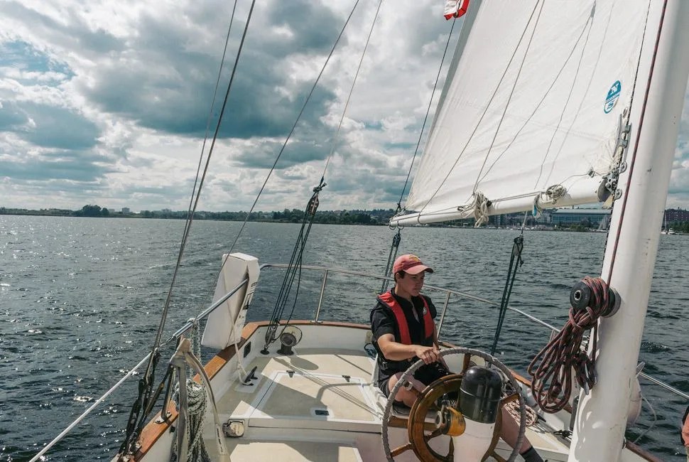
The biggest city on this journey started out as two. Before 1970, Thunder Bay was actually two separate towns — Fort William and Port Arthur — on the namesake bay. First a British trading outpost, by the 19th century, Finnish immigrants came in droves to work in the mining camps; their heritage can be seen in the cuisine, architecture and names. Thunder Bay is a relic of an industrial age, when shipping, logging and mining were booming in Ontario. Nowadays, ships rust in drydocks and grain silos stand derelict. But the faded glory of the city makes for rewarding cultural exploration, as do the burgeoning collection of brewpubs, public art, surprisingly eclectic cuisine and world-class sailing that make Thunder Bay a legitimate destination after decades in the dark.
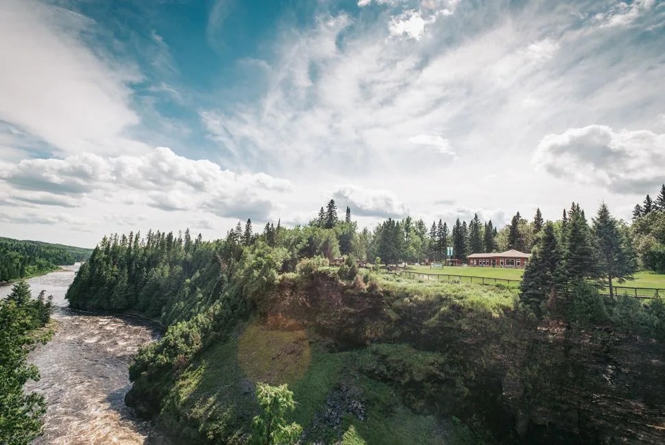
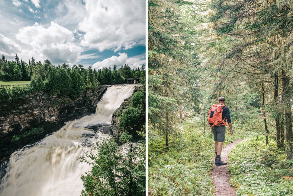
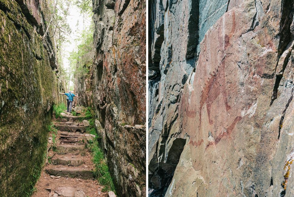
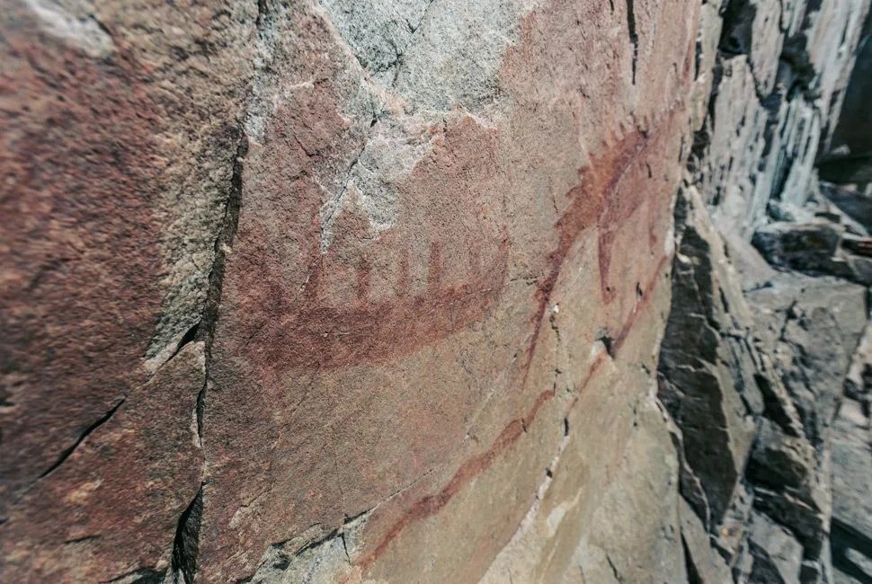
Northern Ontario is a land of superlatives. Kekabeka Falls, on the outskirts of Thunder Bay, is the largest waterfall in Canada other than Niagara and farther north, Ouimet Canyon is a two-mile long, 300-foot-deep rift in the earth that is like the Grand Canyon in miniature. These natural wonders, if they were located closer to major cities, would be swarmed with tourists — but even on a weekend, you can have them all to yourselves.
After a 100-mile detour inland that skirts the huge Pukaskwa National Park, the road emerges on the eastern shore of Superior, on what many consider one of the most beautiful drives in all of Canada.
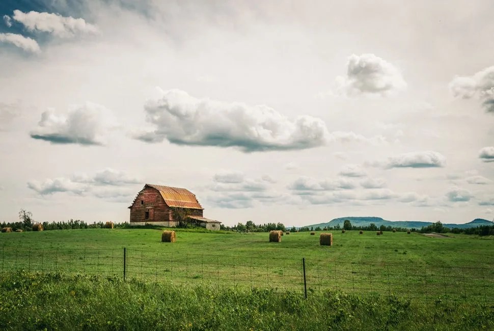
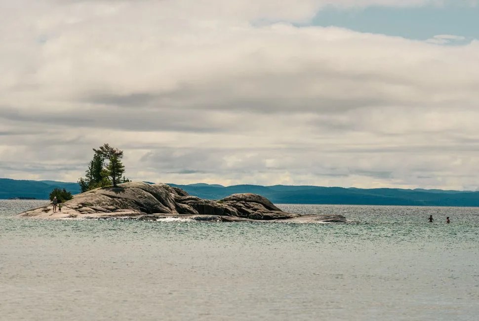
As the Trans-Canadian Highway turns east around the top of Superior, the distance between settlements grows and the road empties. Rossport, Schreiber and Terrace Bay all provide places to gas up, stretch the legs and take in empty vistas south across the big water. Farther on is Neys Provincial Park, formerly a World War II prisoner-of-war camp, where hiking trails cross the foundations of old cell blocks and emerge from the pine forest onto rocky beaches littered with rotting fishing boats. This is an empty coastline, windswept and melancholy, but also impossibly beautiful.